While brainstorming ways to present urban planning proposals in Bradenton, FL, the idea of using SketchUp to create a virtual model of the city came to mind.
First, I used a digital camera and walked around the city taking a systematic photographic survey of the area's buildings and features. Then I acquired a laser distance tool powerful enough to reach the eaves of the highest buildings. Primarily in the evening, I took measurements of the buildings and marked measurements on printouts of my photos.
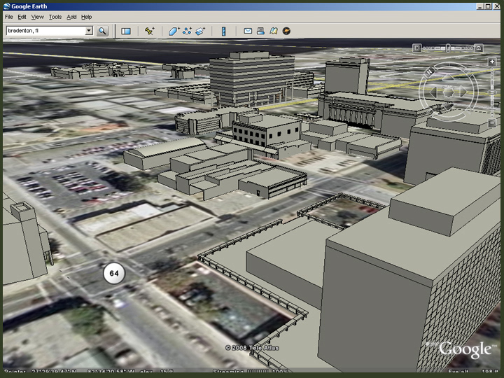
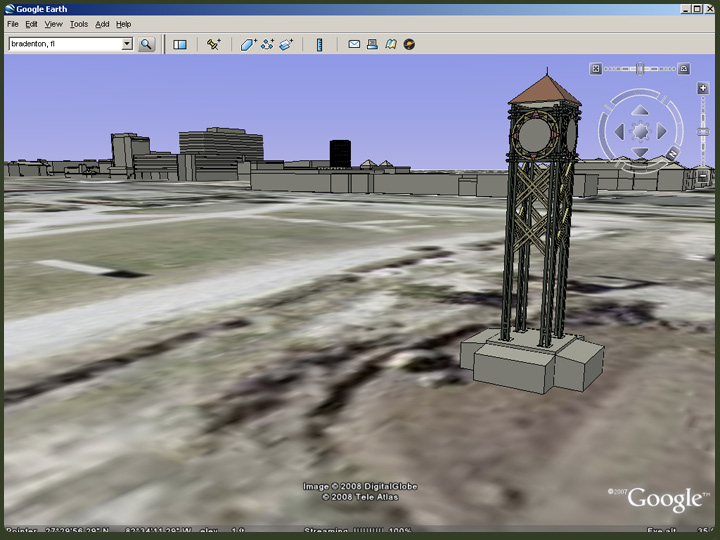
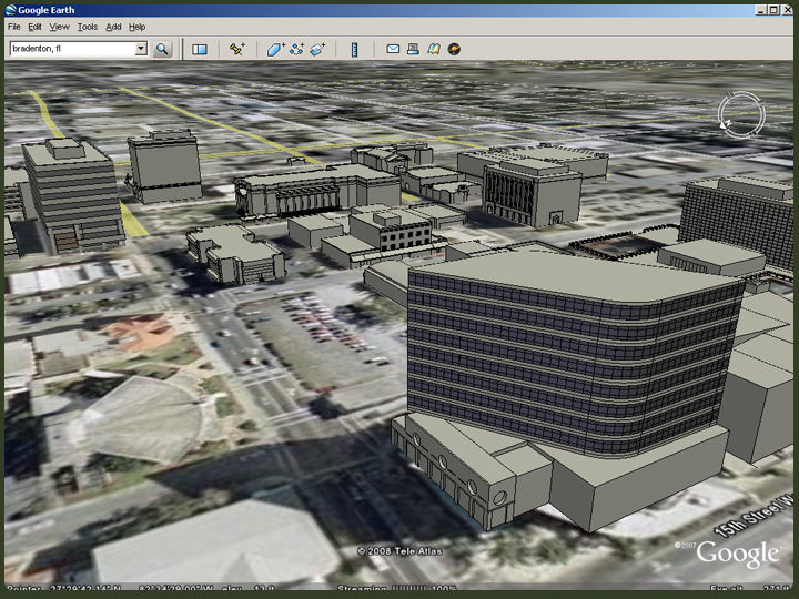
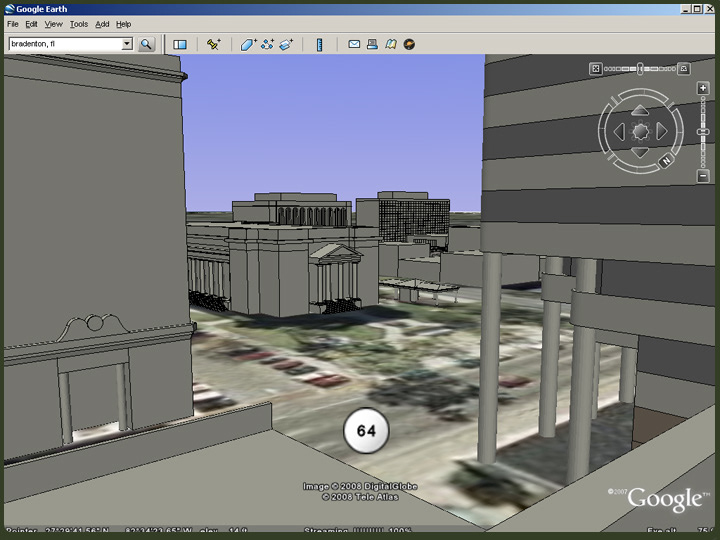
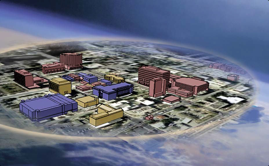
Using some internet research, GIS information, the measurements I took, and the photos, I was able to model many of the buildings and features in Bradenton, FL. Exporting these models to Google Earth, I was able to create fly-by animations. Then, I superimposed plan and elevation graphics for more interactive and dynamic presentations.
First, I used a digital camera and walked around the city taking a systematic photographic survey of the area's buildings and features. Then I acquired a laser distance tool powerful enough to reach the eaves of the highest buildings. Primarily in the evening, I took measurements of the buildings and marked measurements on printouts of my photos.
Using some internet research, GIS information, the measurements I took, and the photos, I was able to model many of the buildings and features in Bradenton, FL. Exporting these models to Google Earth, I was able to create fly-by animations. Then, I superimposed plan and elevation graphics for more interactive and dynamic presentations.